
SPCAD

Digitally signed app
Popis
Description
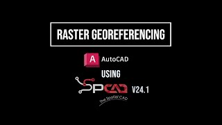
SPCAD is a powerful AutoCAD® add-on packed with over 150 tools to supercharge CAD and GIS workflows. It simplifies complex drafting, mapping, and analysis tasks within a single interface.
Key Features
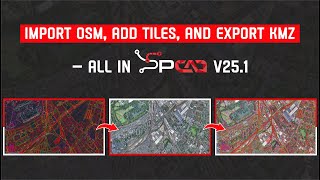
- The software allows seamless import and export of geospatial formats like SHP, KML, GML, LAS, and EXIF-tagged images.
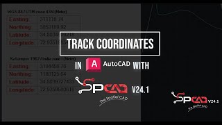
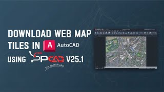
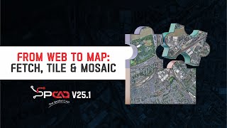
- Users can assign coordinate systems, apply custom transformations, and insert map tiles from OSM, ESRI, and other Web Map Tile services.
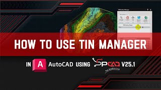
- It supports creating and editing TIN surfaces, calculating volumes, generating contours, and extracting cross-sections and profiles.
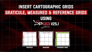
- Cartographic Map elements like legends, grids, block symbols, labels, and north arrows can be added automatically, while data-driven pages streamline atlas creation.
- It provides tools to subdivide lots and manage parcels.
- Users can also perform spatial operations, such as buffering, shrink wrapping, Voronoi generation, and polygon conversion, with enhanced accuracy and speed.
Check out this blog to learn more:https://cadomation.com/key-features-of-spcad-for-autocad/
Note: This app uses a custom installer (and not the standard App Store installer).
For activation of the trial, watch the video:
How to Activate Your SPCAD Trial – Quick & Easy Guide!
A registration form will appear on the first run, requiring the Name, Email, Phone Number, Country, and Organization.
Fill out the form, click on "Register," and you will be sent a 5-digit code by CADOMATION to the provided email.
Enter the activation code to activate a fully functional trial for 14 days!
SPCAD supports English, Spanish, Polish, Greek, Portuguese, Turkish, Czech, and French. (LANG_SP Command)
Note: The previous version of SPCAD must be uninstalled first from the Control Panel to install the current version.
Popis zkušební verze
Fully functional for 14 days trial with Multiple Language Support.


SPCAD has been a great help to me in college, especially in architecture and urban planning projects where we need to share data and import and export layers from AutoCAD to QGIS. And the company's support is excellent; I recommend them to all the students at my university here in Brazil! Congratulations and best of luck!
This application it's a powerful tool colection for all splecialists involved in civil engineering works. The different types of datums, the parcels management system creating DTM model, sections an others are a big help for land surveyors. I recomend it.
The idea of this addition is very useful and wonderful. I strongly support and thank the genius programmer for this excellent work and tremendous effort.
spcad is very user friendly and significantly reduuced my workload.its like multiple softwares at one place.
As an AutoCAD user, I was constantly frustrated with switching between apps for geospatial data and map creation. SPCAD is a lifesaver! It's packed with over 100+ tools that handle everything from importing geospatial files to generating stunning maps with automatic elements. No more app switching, just pure AutoCAD efficiency. Download SPCAD and take your CAD experience to the next level!
SPCAD's ingenious features with user-friendly interface have provided me with a simplistic but reliable CAD resource for almost all of my topographic and terrain analysis workflows.
It saved my time when dividing Lot in multiple parcels.