
TL Lazy Surveyor
무료
OS:
언어:
설명
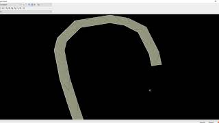
Attempts to improve upon a sloppy field survey in certain cases by creating a smoothed-out version of an original 3d polyline. It works by inserting vertices at user-specified intervals. The elevations of the added vertices are interpolated linearly from the original 3D polyline.
이 버전 정보
버전 2020.10.14.1, 2023-04-11
Updated release


Tiene que ser instalado en CIVIL 3D?