
TL Lazy Surveyor
Бесплатное
ОС:
Язык:
Описание
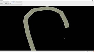
Attempts to improve upon a sloppy field survey in certain cases by creating a smoothed-out version of an original 3d polyline. It works by inserting vertices at user-specified intervals. The elevations of the added vertices are interpolated linearly from the original 3D polyline.
Сведения об этой версии
Версия 2020.10.14.1, 11.04.2023
Updated release


Tiene que ser instalado en CIVIL 3D?